Scroll down for Collector App instructions.
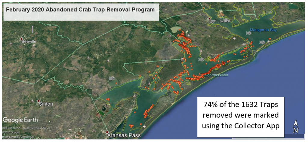
Background: During the February 2020 closure period, SABP asked volunteers to use the Collector phone app to mark the location of each trap they retrieved, how it was collected and its contents. The app utilizes USFW’s ArcGis technology to mark the trap location. The goal was to improve understanding of where abandoned traps are located and provide insight as to the root causes of trap dereliction.
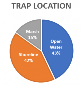
2020 Collector App Data
- 43% of marked traps were in open water and could have been picked-up by the crabber.
- 42% of the marked traps were on the shoreline – likely windblown.
- 15% were marked in shallow water marshes, bayous & lakes – difficult for crabber to pick up during low winter tides.
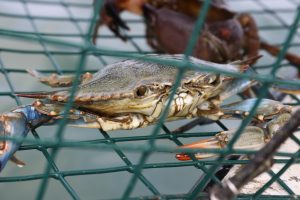
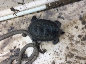
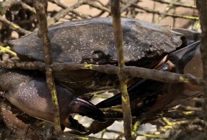
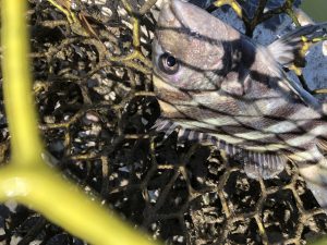
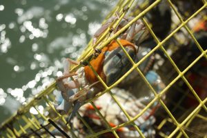
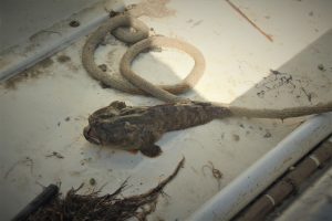
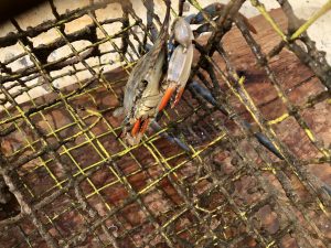
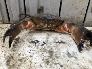
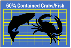
- 60% of abandoned traps contained crabs and fish that would have perished, effecting commercial crabbing harvest and the ecosystem.
Using the 2020 data, the plans for 2021 include:
- Reminders to crabbers to pick up their traps – or lose them.
- Requests to TPWD Game Wardens to increase their presence during the closure period.
- Initiating more in-depth discussions with commercial crabbers about reducing new derelict traps into the Bays.
For 2021, all crew teams are being asked to mark each retrieved trap.
SABP has received a grant from the NOAA Marine Debris Program that is funding this year’s cleanup and the efforts to engage the commercial crabbers to reduce trap dereliction. The grant requires collection of data, so we need all volunteers to assist. Below are instructions to download and use the Collector App. For help with the Collector App, contact Brigid Berger at [email protected]
Collector App Instructions
If you have Collector Classic – please remove this and download the latest version. Collector Classic is no longer supported and will not work.
-
Written Instructions: How to Download the Collector App Watch Video
-
Written Instructions: How to Download an Offline Map Watch Video
Why will we be using an Offline Area Map? While out on the water collecting traps, you likely will not have a cell phone connection strong enough for Collector’s real-time dynamic map to accurately pick up on your location and to upload the marked trap data. Therefore, it will be most efficient to work from a map that has been downloaded to your phone. When marking traps on the downloaded Area Map, the traps you mark will be stored on your phone until you return to a Wifi connection and sync (upload) your marked traps. See “How to Mark a Trap” for syncing instructions.
-
Written Instructions: How to Mark a Crab Trap Watch Video
For help with the Collector App, contact Brigid Berger at [email protected] She will be glad to set up a time to help you over the phone or in person.
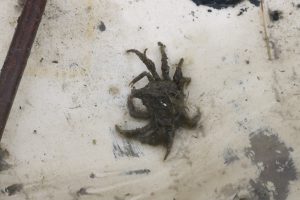
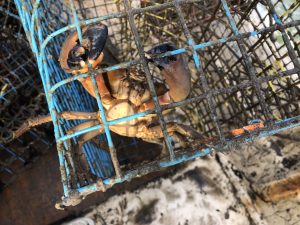
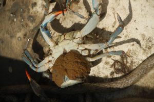
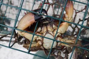
Here are some of the critters caught in the 2020 derelict traps. All were released to go forth & prosper.